
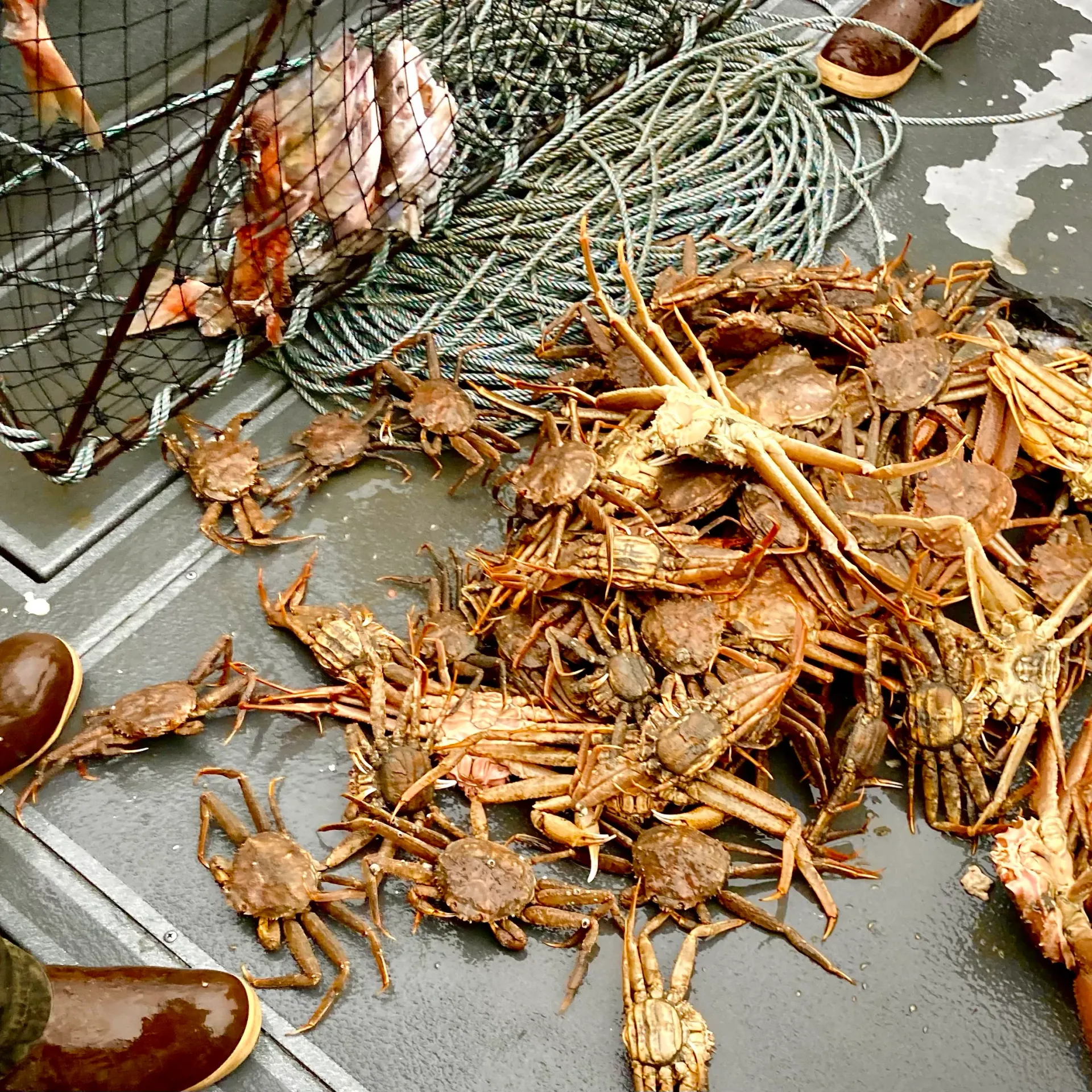
REAL-TIME VESSEL TRACKER
Families back on land can track their loved ones in real time, and prospective clients can see that our boats are actively out on the bite.
↑ Our onboard telemetry simulates realistic positions until live AIS transponder integration is activated. Positions on the above sites reflect real vessel AIS data when vessels are broadcasting.
COCKPIT HUD PANEL
Select a vessel card below to focus the naval map tracker directly onto its current live coordinates, courses, and active crew feeds.
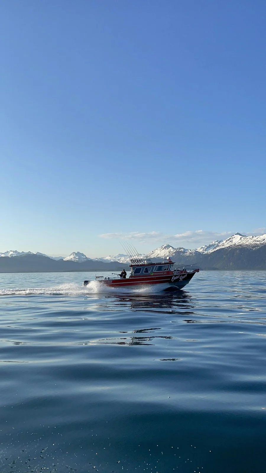
M/V EARLY RISER
ACTIVECAPT. JUSTIN HESS • 34' NORTH RIVER
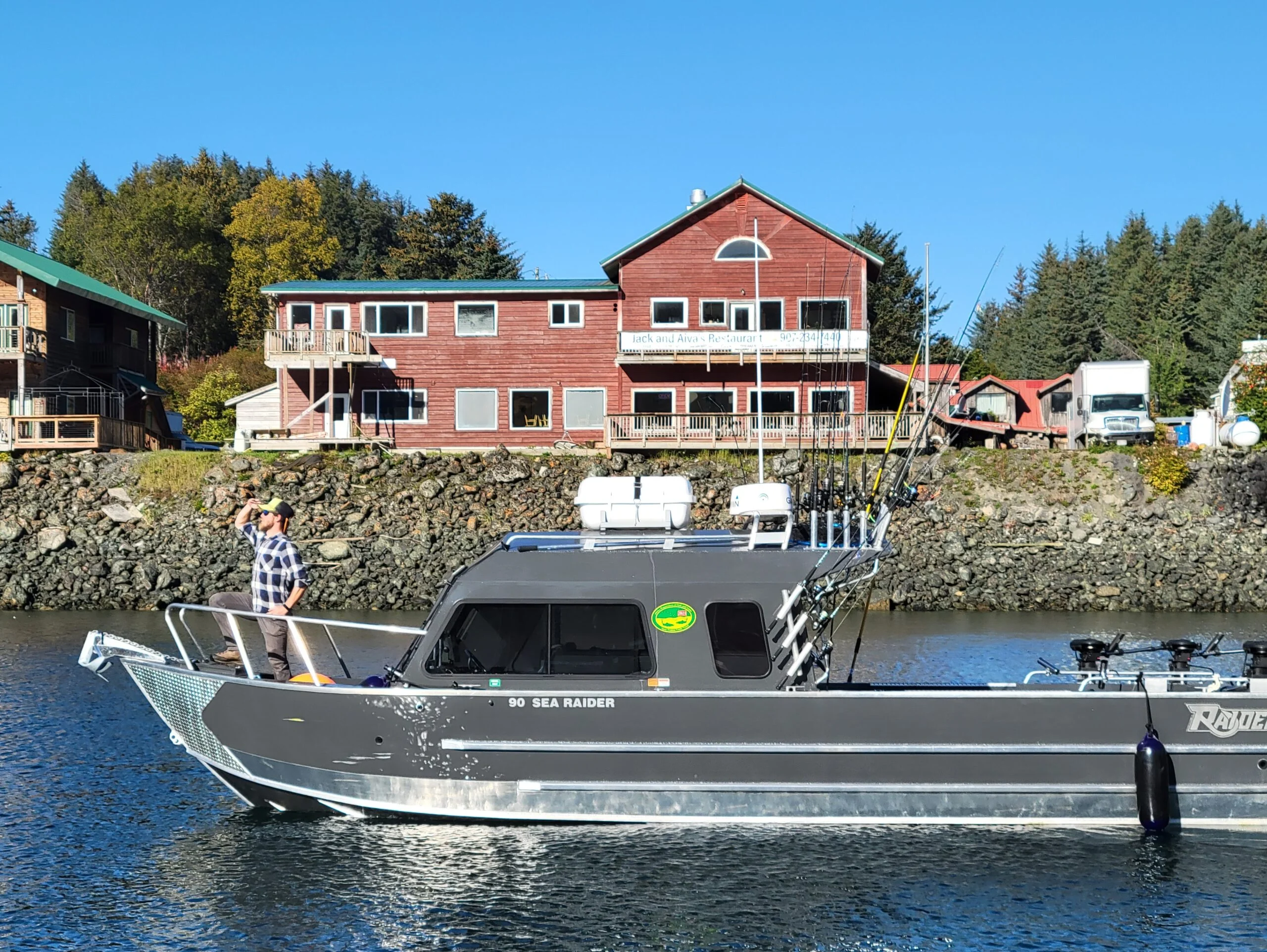
M/V BAIT BALL
ACTIVECAPT. JORDAN LASH • 32' RAIDER BOAT
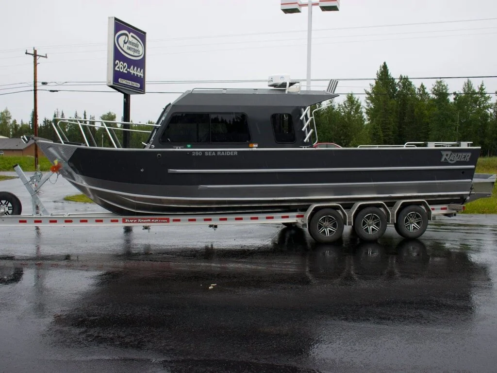
M/V BOOTY CALL
ACTIVECAPT. CHUCK LASH • 30' CUSTOM RAIDER
LIVE AIS & SATELLITE INTEGRATION DOCK
This tracking page is fully constructed to bind real-time global transponders. We have architected a modular telemetry dispatcher in the browser javascript engine. When you are ready to link the vessels via commercial cellular or satellite transponders, follow this simple documentation.
Option A: Global AIS Data Hookup (Free / Automated)
Every large boat transits with an AIS (Automatic Identification System) transponder broadcasting public radio telemetry. You can map each vessel's official MMSI Number (9-digit maritime ID) to free public AIS aggregators (like VesselFinder, MarineTraffic, or AISHub APIs) and execute a client-side fetch block to update the map markers directly.
Option B: Garmin inReach / Iridium Satellite Feeds
For deep blue ocean voyages beyond VHF radio line of sight (like our trips to the Barren Islands), Garmin inReach devices broadcast GPS logs directly via satellite. You can configure a simple serverless Cloudflare Worker or client-side fetch to load coordinate points from your public Garmin MapShare KML feed URL.
Developer Code Mapping Setup
Open src/pages/about/tracker.astro and look for the fetchLiveTelemetry() dispatch structure inside the client script block. Un-comment the dynamic API fetch code block and feed in your raw telemetry payload to take your fleet instantly live.